
Some quick facts
Region:
Northeast see more...
County:
Timiskaming
Near:
River:
Size:
Medium
Access:
Remote
GPS:
47.88501,-79.77723
Parking GPS:
Not ready yet
About Fourth Falls
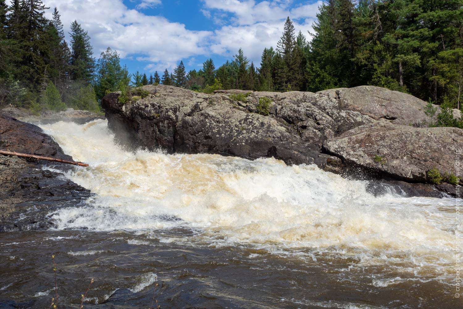
An interesting falls, that is a little off the beaten path, but not difficult to find. It's a reasonably safe challenge, and is a rewarding experience. You can find the trailhead where Chamberlain Concession Rd 3 bends 90 degrees to the north. Park on the side of the road. The trail takes about 10 mins; at one point, you may feel that it is heading off in the wrong direction, but it will eventually lead to the falls. You will pass the Marter Slide on the way in (see its own page), although this may be dry during summer. At Fourth Falls, the river makes an abrupt right turn through a polished rock outcrop. The view from downstream is OK, but the view from on top of the rock outcrop is much better (stay back from the edge, as always!). You just may need a wide angle lens. This site could be given green stars instead of yellow. I stuck with yellow just because this site is somewhat isolated and the hike, while not difficult, includes some hills.Some quick facts
Region:
Northeast see more...
County:
Timiskaming
Near:
River:
Size:
Medium
Access:
Remote
GPS:
47.88501,-79.77723
Parking GPS:
Not ready yet
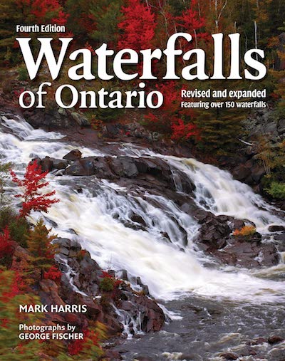
Buy the book!
Buy a group badge!
Get a group sticker!
Get a wall map!

Share with us!

Follow! @waterfallsofontario
A Waterfallsofontario.com web page has been viewed this many times since May 29, 2012.
View Detailed Traffic Statistics
 This page uploaded on Aug 8, 2021. See