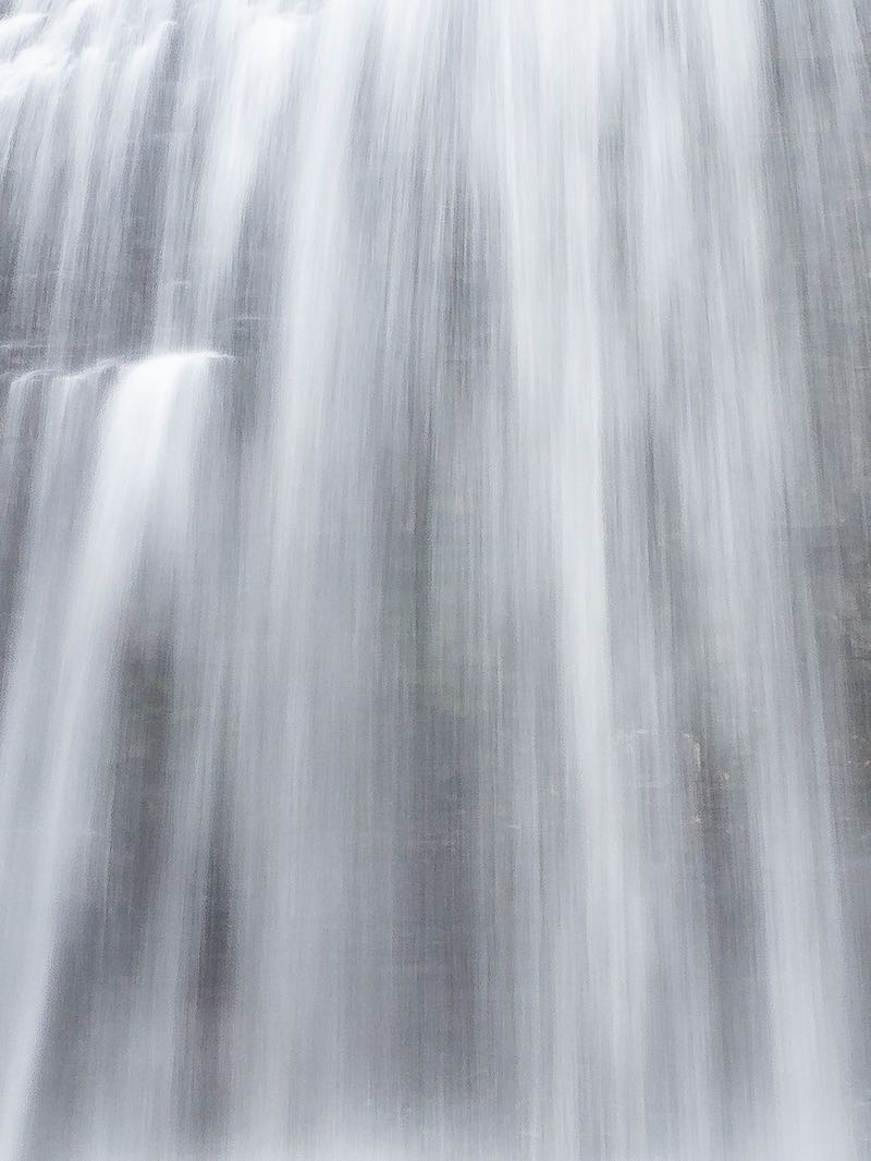


There are three cascade sections at this falls, spread over a 300 m-long stretch of the Ivanhoe River. The uppermost falls is found at the far end of a pond. It is segmented into several channels due to the presence of several small rock islands. The middle falls is found at the downstream / northern end of the pond. The lower falls is found at the up-stream end of another pond.
This site is coded red because it is fairly remote and no longer easy to reach. I have been advised that the roads, if you can call them that, have deteriorated and are overgrown.
Access may be possible by ATV or SbyS. If you have been and can help me to improve this page, please let me know. Also, the site was given 3 stars because there are three falls, not because any one of them is likely to be rated as three stars on its own.
It may also be possible to visit by paddling downstream from the Ivanhoe Chutes. But I have no information as to whether this is advisable.
| Region | Northeast |
|---|---|
| County | Sudbury |
| Near | |
| Watercourse | Ivanhoe River |
| Watershed / % Lakes | 4 / 15% |
| Ownership | Northern Clay Belt Complex |
| Landscape | Wilderness |
| Size | Small |
| Type | Barrier Cascade |
| Modification | Natural |
| Access | Shorter Water Route |
| Top / Bottom | Moderate / Moderate |
| Trail conditions | Shorter Water Route |
| Hiking Time | 60 min |
| Coordinates | 48.6049,-82.3588 |
| Parking | 48.6049,-82.3588 |
| Site ID | WOO.SUD.039 |


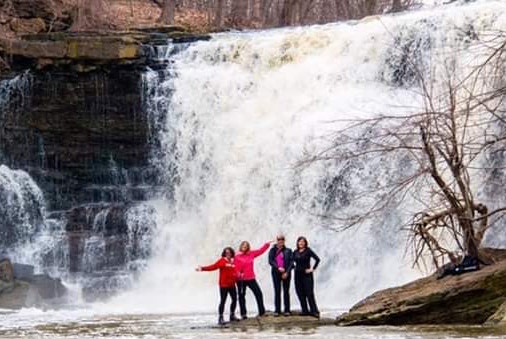
Join our Facebook community to share tips, photos and updates. Operating since 2011, this well-moderated, respectful, and informative group is the hub of Ontario's waterfalling community. (Photo by Martin Van Opstal)
