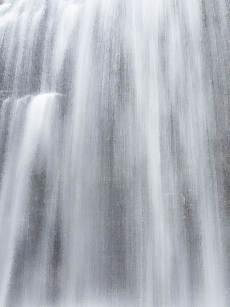


Several very small step cascades and rock rapids can be found along the lowest reaches of the Ganaraska River before it empties to Lake Ontario. The river happens to run right through the Town of Port Hope, and parkland stretching all along the river gives easy access to the rapids. A number of wide, very low rocky steps stretches along almost 500 m of the river.
A retaining wall lines both sides of the river, and guard rails help to keep visitors from falling into the shallow gorge. In the south end of town, the river fills the entire channel. From just south of Walton St and several blocks north, however, the river is rimmed by bare rock on either side.
Just north of Walton St there is a break in the guard rail that includes a ramp down to river level. During low to moderate flows, visitors explore the area along the river bed. Fishermen are quite common; the river remains one of the best for trout and salmon. Another access point, albeit less civilized, is found on the east side of the river, upstream from Ontario St.
The Ganaraska Trail runs along the river behind the historic downtown, making for a nice walk. This is by far the first water over bedrock that you will encounter on your way east from Toronto. The rapids start about 100 m south of Walton St and continue north to beyond the footbridge at Barrett Street.
| Region | Eastern |
|---|---|
| County | Northumberland |
| Near | Port Hope |
| Watercourse | Ganaraska River |
| Watershed / % Lakes | 2 / 9% |
| Ownership | Town of Port Hope |
| Landscape | Urban |
| Size | Very Small |
| Type | Low Step Step |
| Modification | Bridges, Retaining Walls |
| Access | Easy |
| Top / Bottom | Easy / Moderate |
| Trail conditions | Paved, bare rock |
| Hiking Time | 3 min |
| Coordinates | 43.9506,-78.2922 |
| Parking | 43.9495,-78.2928 |
| Site ID | WOO.NOR.004 |


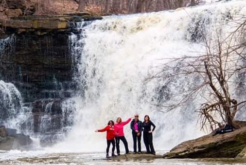
Join our Facebook community to share tips, photos and updates. Operating since 2011, this well-moderated, respectful, and informative group is the hub of Ontario's waterfalling community. (Photo by Martin Van Opstal)
