Waterfalls of Ontario
*** The author does not give you permission to use this website unless you read, understand and accept the terms of use. ***
By accessing and using this website, you acknowledge that you have read, understood and agreed with the website disclaimer. The author does not permit you to use this website unless you read, understand and agree with the disclaimer.
By accessing and using this website, you acknowledge that you are responsible for your actions. You accept that the author has no liability for your safety or behavior. You accept that the content provided here is for general information purposes only, and that it may be incorrect.
All content on this website is protected by the Canadian Copyright Act. Text, maps and photos taken by Mark Harris are copyright by Mark Harris. Images provided by others are copyright by the respective photographer.
You are prohibited from republishing any copyright content from this website without explicit permission from the author. The author is unable to provide permission to republish content provided by others.
In spite of Term No. 4, the author grants permission for users to share links to webpages on this website through social media platforms. Any sharing must be done in a way that does not misrepresent the authorship of the content. In other words, users cannot share content with the implication that it is their own work.
Except as provided in Term Nos. 7 and 8, this website does not collect personal information from users. No cookies are used for tracking on this website. Users may opt to use a tool to share current information about a particular waterfall. No personal information is collected by this tool.
You are notified that this website uses Google AdSense to display advertisements. By using this website, users consent to the use of cookies by Google and collection of data by Google for the purpose of serving personalized ads. Users can opt-out of personalized advertising through Google's Ads Settings.
You are notified that this website uses Statcounter to record the number of visits to the website. By using this website, users consent to the collection of data by Statcounter. This service identifies the IP Address of the user or their Internet Service Provider. It also provides general information about the screen size of the user’s device, and which pages on this website were visited by the user. Personal information such as email addresses, telephone numbers and user names are not collected by Statcounter. You can read more about the limits of the information that Statcounter collects: https://statcounter.com/about/legal/#privacy
The author uses only the free version of Statcounter. The author uses the information collected by Statcounter to understand usage patterns in aggregate. Concerned users may see the information collected by Statcounter by clicking on ‘View Detailed Traffic Statistics’ at the bottom of each page.
The website owner reserves the right to modify these Terms of Use at any time. Users are responsible for reviewing the terms regularly to stay informed of any changes.
You are prohibited from downloading the custom map layer available on this website for the purpose of presenting it elsewhere. The custom map layer is a unique expression of the website author, including custom names, naming conventions, qualitative evaluations, and unique coordinates. It is not a collection of data; it portrays the author’s interpretation artistic expression. Users are reminded that misappropriation of the map is not only unethical but also a violation of intellectual property rights.
Unauthorized use, reproduction, or presentation of the custom map layer on your own website may not only result in legal action but may also lead to a loss of credibility. Discovery of a plagiarized or altered map on your own webpage will negatively impact your reputation among the audience familiar with the original work. Users are advised to refrain from such actions to maintain professional integrity.


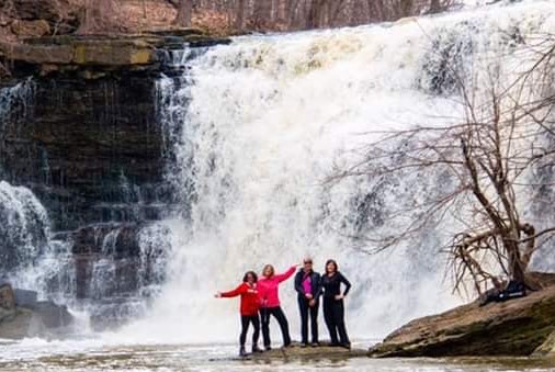
Join our Facebook community to share tips, photos and updates. Operating since 2011, this well-moderated, respectful, and informative group is the hub of Ontario's waterfalling community. (Photo by Martin Van Opstal)
