

By using the 'Find' menu above, you can browse through waterfalls in eight different 'Regions'. These regions correspond to the chapters in the Waterfalls of Ontario book.
Regions are generally formed by combining several counties together. The boundaries used for each region aren't perfect, and there will always be debate. But I've avoided altering them in order to keep things consistent.
Part of the fun of waterfalling is discovering new parts of Ontario. Waterfalls vary between regions, but also even within each region.


Waterfalls in the Greater Toronto, Hamilton and Lake Huron Regions are all based on flat-lying rock. This results in many vertical or nearly-vertical falls. Learn more in waterfallogy...
The Eastern Region also has similar waterfalls, but only in its southern and eastern parts.
Getting around these regions is easy. For the most part, a regular grid of roads gives lots of options for roadtripping.
In contrast, waterfalls in the Cottage Country, Northeast, Algoma, Northwest, Eastern (north part) Regions are based on igneous and sedimentary rock. These falls are more frequently (but not always) less vertical and more chaotic in shape. Learn more in waterfallogy...
Travellers to northern Ontario have far fewer roads to choose from, and will find that gas stations and restaurants can be an hour or two apart.
But nobody should hesitate to explore the north. There are many great waterfalls right along paved highways, or right nearby. The scenery is beautiful, there are no crowds, and communities could use your tourism dollars.


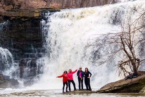
Join our Facebook community to share tips, photos and updates. Operating since 2011, this well-moderated, respectful, and informative group is the hub of Ontario's waterfalling community. (Photo by Martin Van Opstal)
