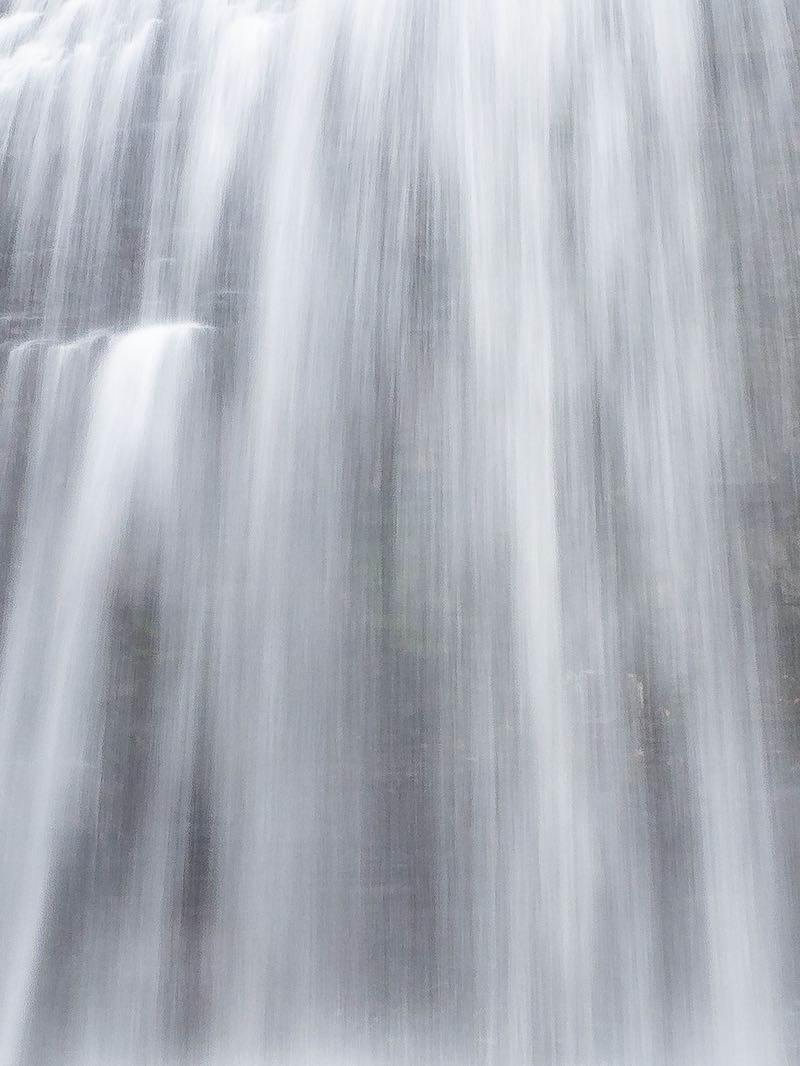


I found this waterfall posted on Gary LeClair's Facebook page called 'Waterfalls of Northern Ontario'. Holy smoke! Why has nobody else posted this online? Well, it is in a rather remote corner of Manitoulin Island, and, with a very small watershed, it likely only flows for a couple months per year. But Gary estimated it to be about 20 m tall.
A true caprock plunge waterfall that could be gorgeous if you visit it at the rith time. Indeed, provincial mapping show that several contour line converge in a V-shape, which is a good sign that a waterall may be present.
The challenge is on! Which master waterfaller will be the first to visit and contribute a photo to show here? The location is right beside the road and may require no more than 1-2 min of hiking. Just be aware that if you show up long after the snow has melted, there may not be much to see.
| Region | Northeast |
|---|---|
| County | Manitoulin |
| Near | Kagawong |
| Watercourse | Unnamed Watercourse |
| Watershed / % Lakes | 1 / 0% |
| Ownership | Roadside |
| Landscape | Rural |
| Size | Medium |
| Type | Plunge |
| Modification | Natural? |
| Access | Easy |
| Top / Bottom | Difficult / Easy? |
| Trail conditions | Unknown |
| Hiking Time | 2 min |
| Coordinates | 45.9477,-82.2975 |
| Parking | 45.9477,-82.2975 |
| Site ID | WOO.MAN.011 |


Join our Facebook community to share tips, photos and updates. Operating since 2011, this well-moderated, respectful, and informative group is the hub of Ontario's waterfalling community. (Photo by Martin Van Opstal)
