

Located in Limehouse Conservation Area, this low rapids is really nothing special. Really. But the site is interesting all the same, as you can see the ruins of an old stone mill, plus some old stone lime kilns. The trail further into the woods leads to some crevice caves,
One used to be able to park in a tiny spot right where the narrow bridge crosses the railway tracks. But no parking signs have finally shut this down. One option, when school is out, may be to park in the roadside parking lot for Limehouse Public School. I cannot guarantee that this is permitted. From here, the trail into the woods is accessed by walking 200 m down the road, crossing the bridge, and turning left.
If this parking lot is not available, or if you'd like a longer, interesting hike, you can park at the Limehouse Conservation Area. This is located just outside the village, and you would need to follow a sinuous 1.7 km long trail to the rapids. The consolation prize is that this takes you by the kilns, caves as well as a boardwalk along the wetland. The parking directions are to the Conservation Area.
| Region | Greater Toronto |
|---|---|
| County | Halton |
| Near | Limehouse |
| Watercourse | Black Creek |
| Watershed / % Lakes | 2 / 12% |
| Ownership | Credit Valley Conservation |
| Landscape | Rural |
| Size | Very Small |
| Type | Rapids |
| Modification | Stone mill ruins |
| Access | Moderate |
| Top / Bottom | / |
| Trail conditions | Dirt |
| Hiking Time | |
| Coordinates | 43.6366,-79.9764 |
| Parking | 43.6321,-79.974 |
| Site ID | WOO.HAL.003 |


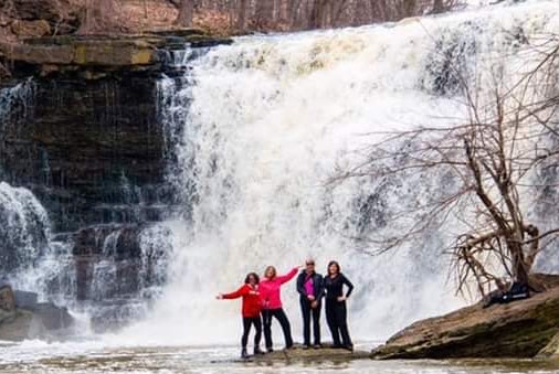
Join our Facebook community to share tips, photos and updates. Operating since 2011, this well-moderated, respectful, and informative group is the hub of Ontario's waterfalling community. (Photo by Martin Van Opstal)
