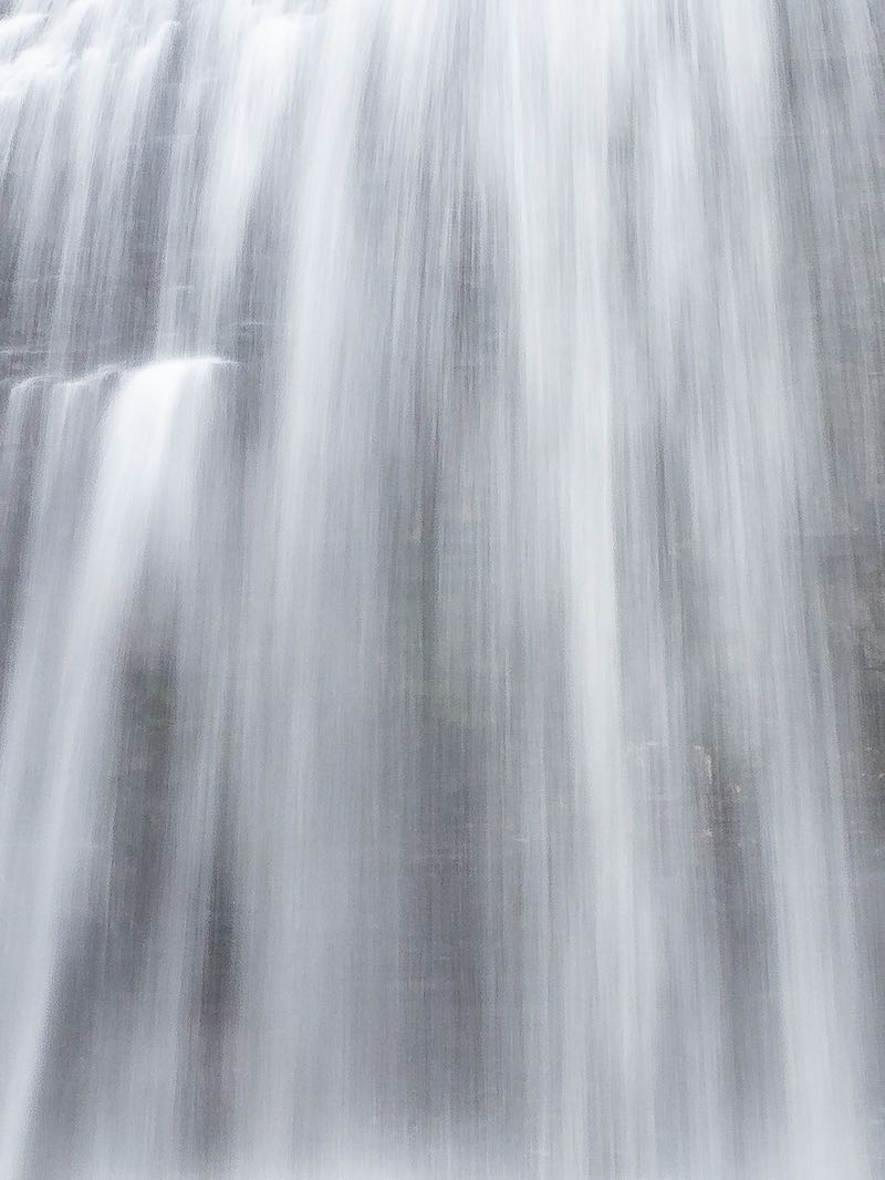


A wide set of irregular, blocky falls across the entire width of the Moira River. Interesting, not because it is a big falls. It sure isn't! When water levels are high, you can barely see any rock. When they are low, things start to get more interesting because of the geology.
Each of the falls are less than 1 m in height. If you zoom in on the Google aerial photo, you can see the two sets of rock fracture sets that make almost perfect squares, just below the river surface. Look for the entrance to Vanderwater Conservation Area on the south side of Vanderwater Rd, just east of Thomasburg.
| Region | Eastern |
|---|---|
| County | Hastings |
| Near | Thomasburg |
| Watercourse | Moira River |
| Watershed / % Lakes | 3 / 19% |
| Ownership | Quinte Conservation |
| Landscape | Rural, forested |
| Size | Small |
| Type | Wide Step |
| Modification | Natural |
| Access | Moderate |
| Top / Bottom | Moderate / Moderate |
| Trail conditions | Dirt |
| Hiking Time | 3 min |
| Coordinates | 44.3796,-77.3158 |
| Parking | 44.3801,-77.3151 |
| Site ID | WOO.HAS.030 |


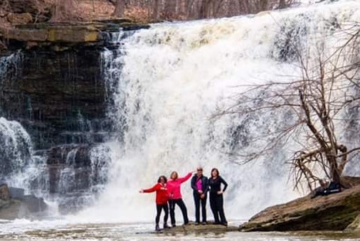
Join our Facebook community to share tips, photos and updates. Operating since 2011, this well-moderated, respectful, and informative group is the hub of Ontario's waterfalling community. (Photo by Martin Van Opstal)
