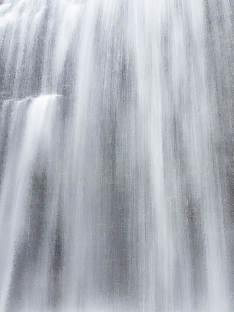


The many waterfalls at Cordova are small, but pretty, and very interesting to explore. The upper falls is the largest and arguably the best. Well, maybe not, but it all depends on what you are looking for. The falls starts immediately below a water level control dam that holds back Cordova Lake. The river then tumbles down a rocky channel perhaps 150 m long, dropping 10 m along the way.

My selection of upper, middle and lower falls, made years ago, was somewhat arbitrary. The use of these terms has stuck, and they appear now on Google Maps and other resources. A dilligent explorer may find a few more little falls to explore along this stretch.
This waterfall is featured in the 'Waterfalls of Ontario' book. Please pick up a copy to learn more. This helps to support this project.
| Region | Eastern |
|---|---|
| County | Peterborough |
| Near | Cordova Mines |
| Watercourse | Crowe River |
| Watershed / % Lakes | 3 / 18% |
| Ownership | Crown Land |
| Landscape | Natural, open |
| Size | Medium |
| Type | Cascade with Dam |
| Modification | Water Level Control Dam |
| Access | Moderate |
| Top / Bottom | Moderate / Moderate |
| Trail conditions | |
| Hiking Time | 3 min |
| Coordinates | 44.5573,-77.8246 |
| Parking | 44.5576,-77.8237 |
| Site ID | WOO.PET.008 |


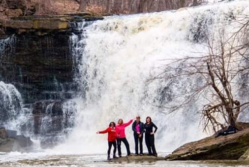
Join our Facebook community to share tips, photos and updates. Operating since 2011, this well-moderated, respectful, and informative group is the hub of Ontario's waterfalling community. (Photo by Martin Van Opstal)
