

This waterfall is found along reasonably short, but demanding trail, right off Hwy 129. The trail is about 550 m long and is steep in sections, but people report that it isn't extraordinarily tough. The path isn't always well-worn; look for flagging tape and use your ears!
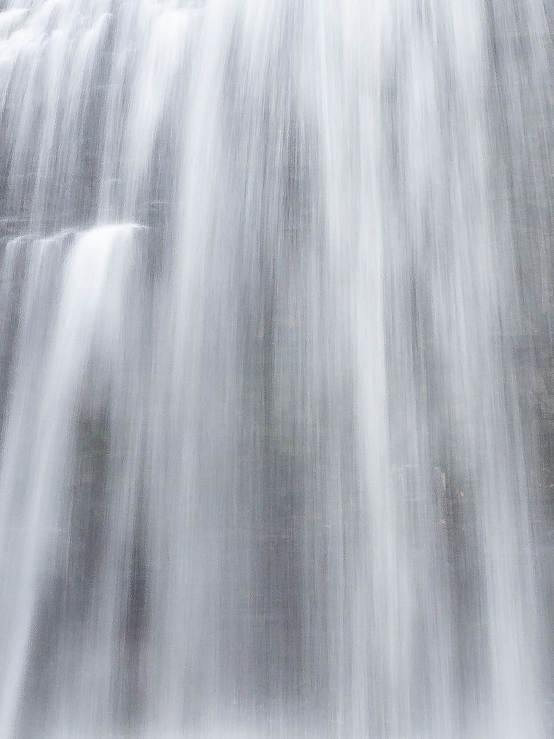
In 2022 there was a faint green sign at the trailhead. The falls is a long cascade in several sections. This makes it impossible to get the entire scene in one shot.
This site is coded yellow because the trail is challenging and in a remote area. At the same time, the trail is established and the highway, while not super busy, is regularly travelled. I have yet to visit this site myself, and hope to update this page after I do.
| Region | Algoma |
|---|---|
| County | Algoma |
| Near | Grindstone Creek |
| Watercourse | Grindstone Creek |
| Watershed / % Lakes | 1 / 15% |
| Ownership | Crown Land |
| Landscape | Wilderness |
| Size | Small |
| Type | Cascade |
| Modification | Natural |
| Access | Moderate |
| Top / Bottom | / |
| Trail conditions | Dirt, uneven bedrock |
| Hiking Time | 20 min |
| Coordinates | 46.6911,-83.374 |
| Parking | 46.6897,-83.3805 |
| Site ID | WOO.ALG.039 |


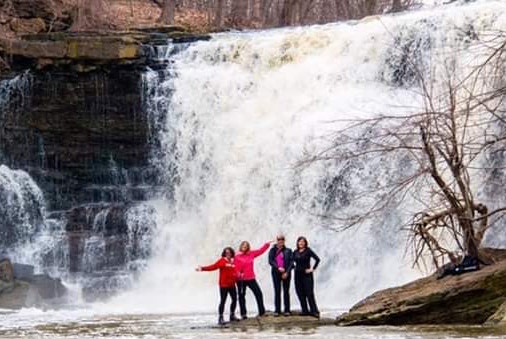
Join our Facebook community to share tips, photos and updates. Operating since 2011, this well-moderated, respectful, and informative group is the hub of Ontario's waterfalling community. (Photo by Martin Van Opstal)
