Look for the book in stores or buy it online!
Show that you belong with your group badge! Just $8.99, including shipping.
Big waterfall fan? Why not get a 36" wall map and track your progress?

Please join our Facebook community. Well-moderated, it's all waterfalls, all the time! *Don't limit yourself to the information on this page; ask our 35,000 members for ideas.

Follow @waterfallsofontario on Instagram. Slowly getting caught up, but lots of great photos and interaction.
Show that you belong with your group sticker! Just $5.99, including shipping.
Why are there no waterfalls near me
'Waterfalls of Ontario' focuses solely on natural waterfalls. These form where a stream flows over bare bedrock. The rock forms a hard barrier to erosion, and thus the stream tumbles over the edge to form a waterfall. You can read more about waterfall formation and classification in the book "Waterfalls of Ontario".In our Facebook group, we occasionally allow photos of water falling over a dam. Some people consider these to be waterfalls. These can be valuable as scenic spots for waterfallers that don't live anywhere near the real thing.
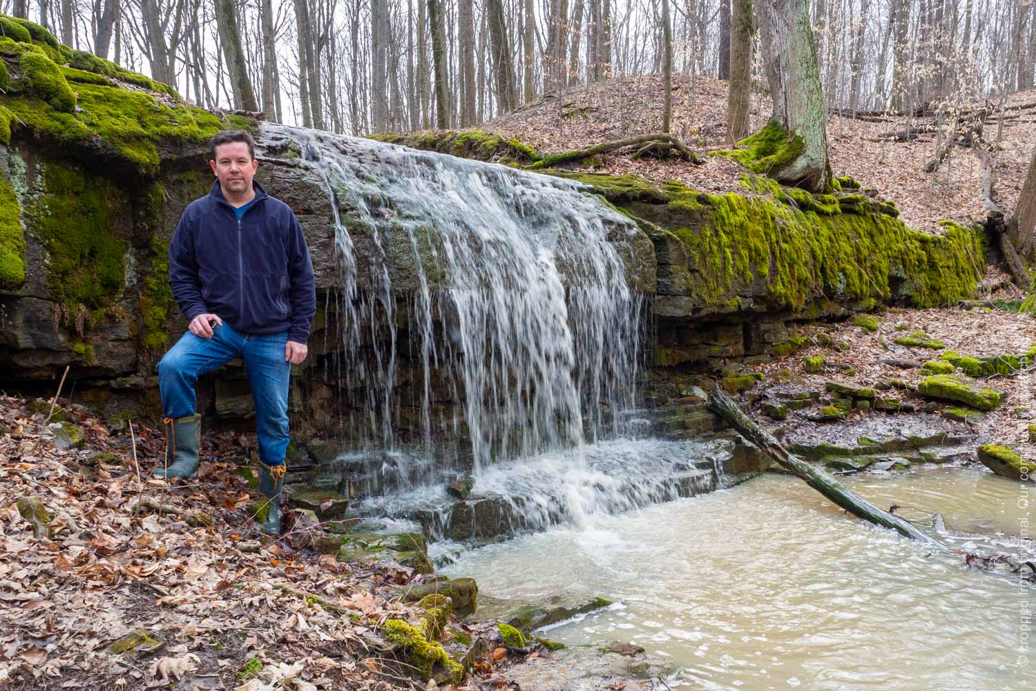
 This dam in Dorchester is the closest thing to a waterfall near my home. It's a nice place to relax! But since it's not a natural waterfall, it's not included on this website.
 For those of us looking for natural waterfalls, why do we sometimes have to drive a long way? The answer is quite simple. Since waterfalls need bedrock to form, if there is no bedrock exposed in your area, there will be no waterfalls!
So, why is there no bedrock exposed? All of Ontario was covered by glaciers during several periods in the past. The last glaciers left about 10,000 years ago. These giant sheets of ice were up to 2 km thick and acted like giant bulldozers on the earth's surface. In some cases, the scraped away all the soil to expose bare bedrock. In other cases, the pushed the soil into thick piles and sheets of soil. Sometimes the bedrock can be 100 m below the ground!
Check this link to learn more about Ontario's glacial past. If you are new to understanding Ontario's physical geography, it's amazing how our landscape can easily be explained.
The image below is borrowed from a map prepared by the Ontario Geological Survey. It shows the thickness of soil found on top of bedrock. (geoscientists use the term 'overburden' to refer to sand, silt, clay, gravel that rests on top of rock). The red dots show the location of waterfalls in this project's database.
 Dark blue and green show where the overburden (soil) is very thick. Yellow shows where the overburden is very thin. From the Ontario Geologic Survey
In most of southwestern and southcentral Ontario, the rock is buried by 20 or more metres of overburden. Most waterfalls here are found along the Niagara Escarpment. This long rock ridge pokes up through the otherwise thick overburden, providing a rock exposure for a stream to tumble over.
Do you see large areas where there are no waterfalls? Do you see the colour and what it means for soil thickness? Major rivers like the Grand River or the Maitland River have eroded enough soil away to expose the underlying rock, thus creating waterfalls at Elora and Goderich.
You can see how there are so many more waterfalls in the area north and east of Toronto. This is the Canadian Shield area, where soil cover can be only a couple metres in many places. But even here, there are places where thick, extensive layers of overburden cover the bedrock.
A Waterfallsofontario.com web page has been viewed this many times since May 29, 2012.
View Detailed Traffic Statistics
This page uploaded September 30, 2021.