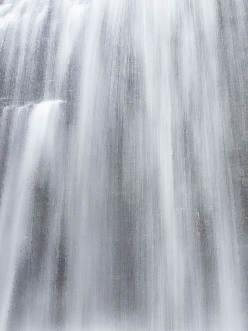


This is a very low, but wide bump in the Mississagi River that is just high enough to create some whitewater. Don't expect too much of a falls, but the area is quite scenic. It is easily reached by a short path from the west side of Hwy 17 down to the river.
The total drop is only about 1 m at most. The bare bedrock exposed along the river bank can be explored. Interpretive signs in the area explain how the river was important to Indigenous People, and also explain the importance of lake sturgeon.
Parking is avaiable via a short gravel pull-off on the west side of the highway. It leads to a sandy parking area right beside the river. With care, drivers can get just past the boat launch to find a place to pull over. Watch for the signs, as mentioned, and proceed to the falls on foot. The hike is no more than a minute or two.
I have been advised that this waterfall was historically known as "McGauley's Chute". This was named after the McGauley family, which originally cleared the land around the falls, as well as the area on the east side of the highway now occupied by a motel/camp.
| Region | Algoma |
|---|---|
| County | Algoma |
| Near | Blind River |
| Watercourse | Mississagi River |
| Watershed / % Lakes | 4 / 15% |
| Ownership | Mississauga First Nation |
| Landscape | Roadside, open |
| Size | Small |
| Type | Low, Wide Cascade |
| Modification | Natural |
| Access | Easy |
| Top / Bottom | Moderate / Moderate |
| Trail conditions | Gravel, bare rock |
| Hiking Time | 2 min |
| Coordinates | 46.2005,-83.0277 |
| Parking | 46.2003,-83.0256 |
| Site ID | WOO.ALG.059 |


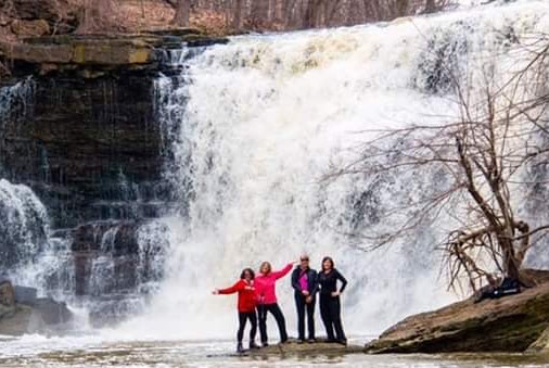
Join our Facebook community to share tips, photos and updates. Operating since 2011, this well-moderated, respectful, and informative group is the hub of Ontario's waterfalling community. (Photo by Martin Van Opstal)
