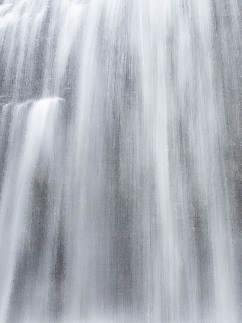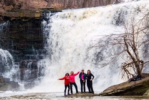


This is an interesting falls. The river falls in several stages along a narrow gorge. One can see the upper parts of the falls from the road bridge. But since this is looking downstream, it's best to follow the trail downstream along the south side of the river. The municipality owns a narrow strip of land on this side. ** Use Caution; there are no safety fences along the river.

The falls are next to the Bonnechere Caves attraction, and any visit should include a stop here. NOTE: You can't park at the caves if you only want to see the falls. If you visit the caves, I suspect they will let you leave your car while you explore the falls. Otherwise, parking is limited. I was able to park on the side of the road, about 100 m south of the falls. While the road isn't busy, visitors must use caution if they choose to park on the road.
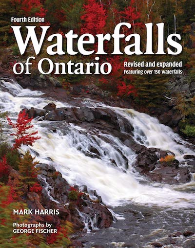
This waterfall is featured in the 'Waterfalls of Ontario' book. Please pick up a copy to learn more. This helps to support this project. NOTE: There are no safety railings at this waterfall. Anyone that chooses to visit does so at their own risk.
| Region | Eastern |
|---|---|
| County | Renfrew |
| Near | Fourth Chute |
| Watercourse | Bonnechere River |
| Watershed / % Lakes | 3 / 18% |
| Ownership | Municipal Land |
| Landscape | Rural |
| Size | Medium |
| Type | Block Step |
| Modification | Concrete bridge abutment ruins |
| Access | Easy |
| Top / Bottom | Easy to View / Dangerous |
| Trail conditions | Uneven ground, bare rock, rough |
| Hiking Time | 5 min |
| Coordinates | 45.5042,-77.008 |
| Parking | 45.5035,-77.0099 |
| Site ID | WOO.REN.012 |


Join our Facebook community to share tips, photos and updates. Operating since 2011, this well-moderated, respectful, and informative group is the hub of Ontario's waterfalling community. (Photo by Martin Van Opstal)
