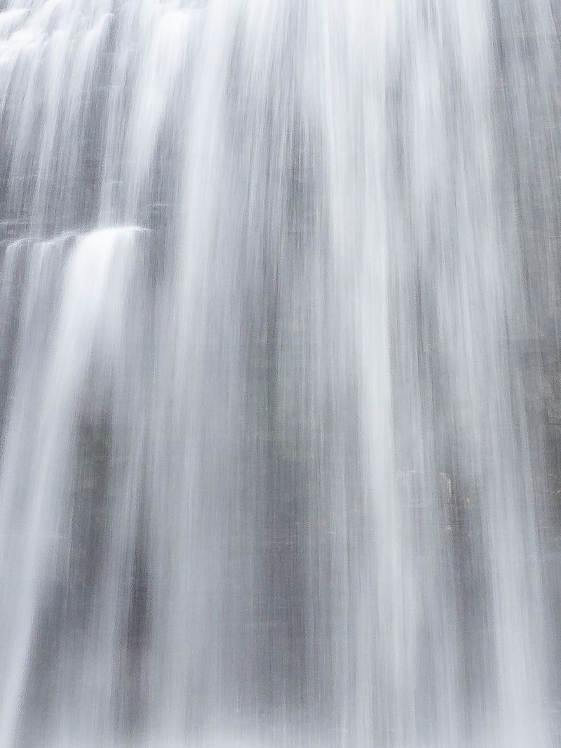


This is a small cascade found about 100 m south of Hwy 7, just west of Hwy 37. Access from the gravel parking lot for the conservation area on the south side of Hwy 7. The river falls over a series of small rock ridges, perhaps 10-15 m wide, but only a total of about 2-3 m high.

At low summer flows, the waterfall can be a disappointment. At high spring flows, I've found that while the whitewater is actually pretty impressive, the rockbed becomes flooded and it's difficult to get pictures with any detail. A significant tornado ripped through this area during 2022. It will be impossible for anyone not to see the devastation to the forest (including at the falls), for years to come.
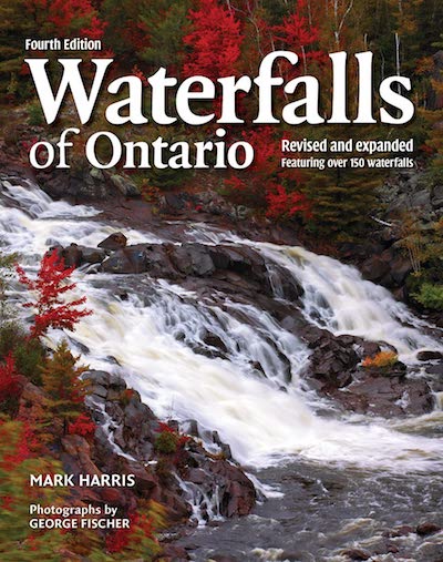
This waterfall is featured in the 'Waterfalls of Ontario' book. Please pick up a copy to learn more. This helps to support this project.
| Region | Eastern |
|---|---|
| County | Hastings |
| Near | Actinolite |
| Watercourse | Skootamatta River |
| Watershed / % Lakes | 3 / 21% |
| Ownership | Town of Tweed |
| Landscape | Rural |
| Size | Small |
| Type | Cascade |
| Modification | Highway bridge |
| Access | Moderate |
| Top / Bottom | Moderate / Challenging |
| Trail conditions | Gravel, bare rock, small hill |
| Hiking Time | 4 min |
| Coordinates | 44.5486,-77.3278 |
| Parking | 44.5494,-77.3277 |
| Site ID | WOO.HAS.023 |


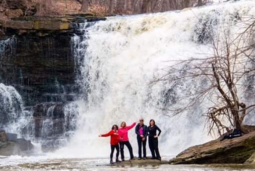
Join our Facebook community to share tips, photos and updates. Operating since 2011, this well-moderated, respectful, and informative group is the hub of Ontario's waterfalling community. (Photo by Martin Van Opstal)
