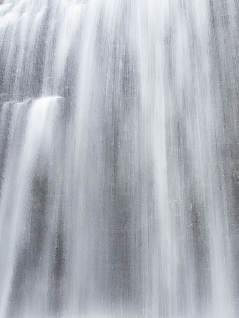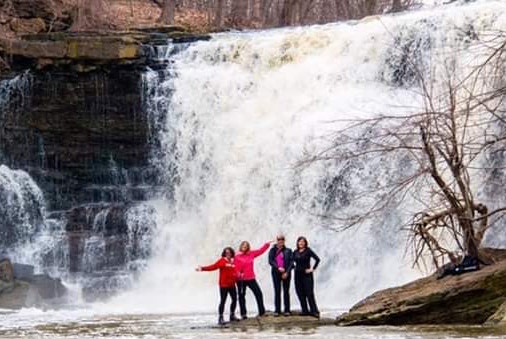


A steep step-form waterfall that looks like it would be more at home along the Niagara Escarpment. The uppermost part of the falls sees the creek enter the gorge through a thin notch in the rock and spill into a small pool surrounded by a few natural platforms of rock. From here, the creek continues downstream over a series of steps, each controlled by a slighlty more resistant rock formation that overtops weaker layers.
At a height of about 4 metres, the lowest drop is the tallest, bordering on a plunge form. At the bottom, the creek narrows between two concrete walls. These are the ruins of a culvert that once passed under the nearby road. The road was subsequently realigned to its current position.
The falls are visible and accessible from St. Joesph Blvd. By walking along the sidewalk, west of the falls, a dirt path leads from the end of the guardrail to the base of the falls. The only problem here is parking. I think that the nearest legal place to park is on Taylor Creek Dr, 400 m to the east. The roads leading off St Joseph are private; they belong to a Mobile Home Park.
Alternatively, parking is also available n the subdivision to the north. A trail leads from the curve in Brookridge Cres, and another leads north from Princess Louise Blvd, just a block east of Brookridge Cres. The trails lead to a wooden footbridge over the creek. There may now be safety fences to prevent access to the base. If you know the area and can improve this description, please let me know!
| Region | Eastern |
|---|---|
| County | Ottawa-Carleton |
| Near | Orleans |
| Watercourse | Taylor's Creek |
| Watershed / % Lakes | 0 / 0% |
| Ownership | City of Ottawa |
| Landscape | Suburban |
| Size | Small |
| Type | Tiered Step |
| Modification | Concrete ruins |
| Access | Easy |
| Top / Bottom | Moderate / Moderate |
| Trail conditions | Gravel, bare rock |
| Hiking Time | 5 min |
| Coordinates | 45.4865,-75.4906 |
| Parking | 45.4856,-75.4917 |
| Site ID | WOO.OTT.008 |


Join our Facebook community to share tips, photos and updates. Operating since 2011, this well-moderated, respectful, and informative group is the hub of Ontario's waterfalling community. (Photo by Martin Van Opstal)
