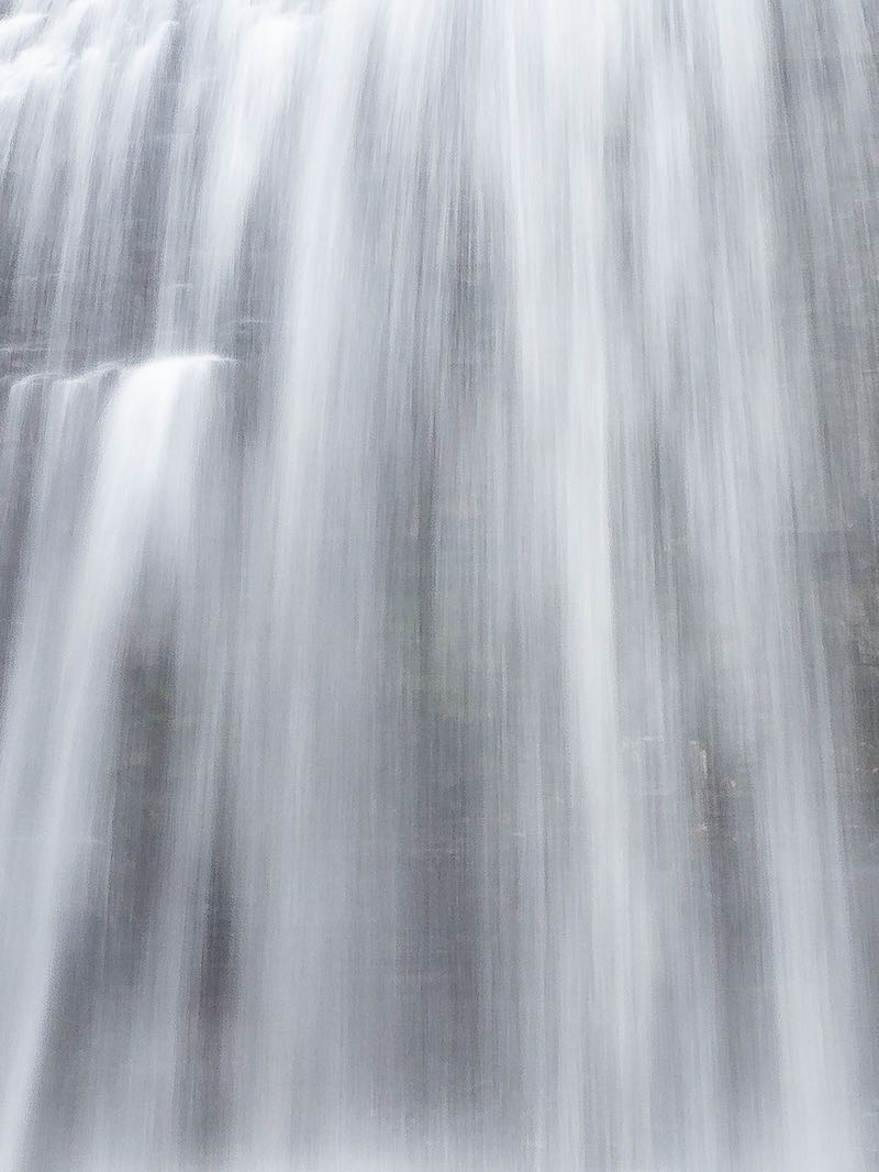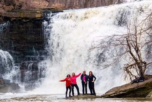


Ranney Falls is bigger than it looks in many photos. This plunge falls at Campbellford is maybe 4 m high, but spans the entire width of the Trent River, which here is about 80 m. Much of the flow during summer is directed through the hydroelectric plant, which causes the width of the stream to drop dramatically.
Photo angles (like the one in my image) can make the falls look smaller than it is. Unlike most waterfalls formed on sedimentary rock, where the crest forms an upstream-facing horseshoe shape (think Niagara Falls), the crest of Ranny Falls forms a downstream facing horseshoe shape. Energy is usually concentrated towards the middle of the river, where it generates the most erosive power. The reason for this reversal at Ranney is not yet known.
Note that the water level in the river fluctuates through the year. During wetter periods, the river fills its banks and a curtain of whitewater spreads across the entire falls. During drier periods, the flow becomes quiet narrow and only spills over a small portion of the rock face. If you are timing your visit, take this into account.
The Ranney Gorge is remarkable, and good trails are available for those looking to extend their visit. You can also visit a lock on the Trent Canal, as well as see the 20 MW power station and several old industrial ruins on the far side of the river.
Driving south from Campbellford on Hastings Rd 30, turn left on Trent Drive. After 500 m you will see a bridge crossing the Trent Canal. Turn left to cross the bridge, and then take the first right. Follow to the parking lot. Walk across the Ranney Suspension Bridge. Turn left and hike to the lookout. NOTE: Access to the river bed is prohibited.
| Region | Eastern |
|---|---|
| County | Northumberland |
| Near | Campbellford |
| Watercourse | Trent River |
| Watershed / % Lakes | 4 / 26% |
| Ownership | Ferris Provincial Park |
| Landscape | Rural |
| Size | Medium |
| Type | Wide Plunge |
| Modification | Natural |
| Access | Moderate |
| Top / Bottom | Moderate / Prohibited |
| Trail conditions | Footbridge, gravel, small hills |
| Hiking Time | 15 min |
| Coordinates | 44.2949,-77.8018 |
| Parking | 44.292,-77.8013 |
| Site ID | WOO.NOR.005 |


Join our Facebook community to share tips, photos and updates. Operating since 2011, this well-moderated, respectful, and informative group is the hub of Ontario's waterfalling community. (Photo by Martin Van Opstal)
