

One of the first mistakes that I made when starting my waterfall travels was to assume that towns marked with 'Falls' in their name must have great waterfalls. Smiths Falls doesn't. There is really no main waterfall to visit in Smith Falls. This doesn't mean that a stroll around town isn't interesting, however, as there are lots of water-related features to see.
The original fall on the river has been dammed in order to create a basin of water for recreation. Spillways do carry some whitewater immedidatly south of downtown off Beckwith St as well as to the east at Abbott St. A separate entry exists for Old Slys Cascade.
In addition to waterfalls, the town has several locks that are part of the Rideau Canal. This includes the conbined lock at Canal St, which replaced several older smaller locks. An old abandoned lock that can be viewed from Beckwith St, just a bit south of the combined lock. It is no longer used and left in place, allowing some excess water to spill through.
The river makes a tight hairpin turn on the south side of downtown, and is here lined by a number of old industrial buildings that once obtained power from the river (you can still see the penstocks from Beckwith St). This includes an old stone mill that now houses the Rideau Canal Visitor's Centre.
There is lots of parking downtown on Beckwith St (Hwy 15). Use the opportunity to check out some of the shops or pick up lunch. I always try to support local businesses when I'm out exploring.
| Region | Eastern |
|---|---|
| County | Lanark |
| Near | Smiths Falls |
| Watercourse | Rideau River |
| Watershed / % Lakes | 3 / 31% |
| Ownership | Town of Smith Falls |
| Landscape | Urban |
| Size | Small |
| Type | Cascade under Bridge |
| Modification | Water Level Control Dams, Bridges, Buildings |
| Access | Easy |
| Top / Bottom | Easy / Moderate |
| Trail conditions | Paved |
| Hiking Time | 5 min |
| Coordinates | 44.8972,-76.0217 |
| Parking | 44.8991,-76.0211 |
| Site ID | WOO.LAN.012 |


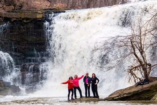
Join our Facebook community to share tips, photos and updates. Operating since 2011, this well-moderated, respectful, and informative group is the hub of Ontario's waterfalling community. (Photo by Martin Van Opstal)
